| Earth from Space is a free eBook describing our planet from a satellite's perspective. Fore more information, please read the About pages. |

|

Home  Europe Europe  Greece Greece  Athens Athens |
|
| See also: Greece from Space, Mount Olympus | |


|
|
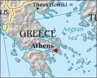
AthensPosition of center of photo (Lat/Long): [37.96096/23.70893] |
|
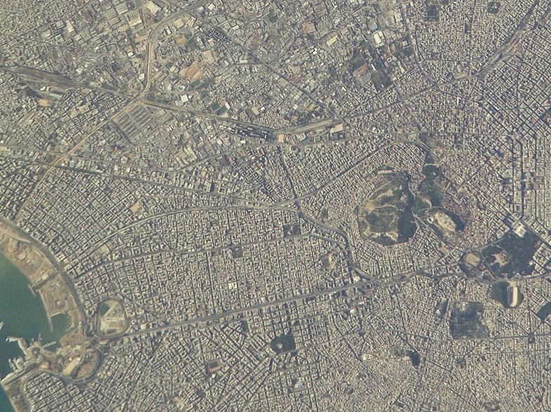
  There are many remnants of ancient Athens (Greece) preserved in the modern city, including the Acropolis. During the Classical Period, Athens was an important Mediterranean city-state whose enduring political and military dominance of the region was only ended following the Peloponnesian War of 431-404 BC. Following a long succession of foreign rulers, Athens became the capitol of the current Hellenic Republic (Greece) in 1834. There are many remnants of ancient Athens (Greece) preserved in the modern city, including the Acropolis. During the Classical Period, Athens was an important Mediterranean city-state whose enduring political and military dominance of the region was only ended following the Peloponnesian War of 431-404 BC. Following a long succession of foreign rulers, Athens became the capitol of the current Hellenic Republic (Greece) in 1834.
This high-resolution photograph taken by astronauts on board the International Space Station shows details of Athens´ historic ruins. The photo shows the area of the Acropolis - some of the most distinctive features are the Parthenon, and Odeum of Herodes Atticus. Astronauts use a 400 mm lens and a 2 x extender on a digital camera to take these detailed shots through the windows of the space station. By getting immediate feedback from the camera, they learn to track the spacecraft’s motion as it speeds over the Earth and get sharp photographs of small features. These detailed city photographs, with a pixel representing 6 m or less on the ground, have quickly become some of the most popular NASA images downloaded by the public. |
| Source of material: NASA |
Further information: WikiPedia article on Athens
Last Update: 2011-03-30

