| Earth from Space is a free eBook describing our planet from a satellite's perspective. Fore more information, please read the About pages. |

|

Home  North America North America  USA USA  California California  Golden Gate Bridge Golden Gate Bridge |
|
| See also: San Francisco Bay | |


|
|
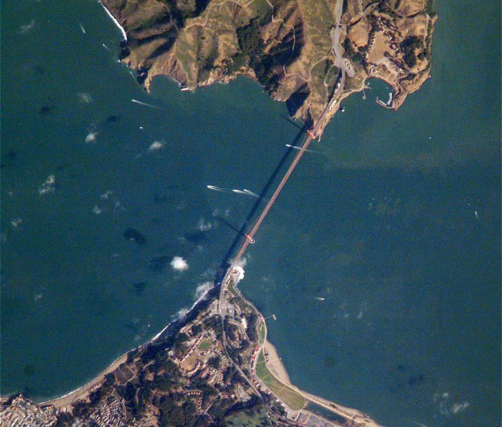
Golden Gate BridgePosition of center of photo (Lat/Long): [37.82027/-122.47837] |
|
  The Golden Gate of San Francisco Bay (United States) is one of the most recognizable straits in the world due to the Golden Gate Bridge The Golden Gate of San Francisco Bay (United States) is one of the most recognizable straits in the world due to the Golden Gate Bridge
|
| Source of material: NASA |
Further information: WikiPedia article on Golden Gate Bridge
Last Update: 2011-03-30


