| Earth from Space is a free eBook describing our planet from a satellite's perspective. Fore more information, please read the About pages. |

|

Home  Africa Africa  Libya Libya  Sand Storm from Libya Sand Storm from Libya |
|
| See also: Nile Delta, Al Khufrah Oasis | |


|
|
Sand Storm from LibyaPosition of center of photo (Lat/Long): [33.30735/22.69941] |
|
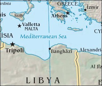
  This SeaWiFS image, captured on April 13, 2001, shows a large sand/dust storm blowing out of northern Libya and Egypt, and heading directly towards the island of Crete. This SeaWiFS image, captured on April 13, 2001, shows a large sand/dust storm blowing out of northern Libya and Egypt, and heading directly towards the island of Crete.
At the lower right of the photo, you can see the Nile Delta and the peninsula of Sinai. |
| Source of material: NASA |
Further information: WikiPedia article on Sand Storm from Libya
Last Update: 2011-03-30

