| Earth from Space is a free eBook describing our planet from a satellite's perspective. Fore more information, please read the About pages. |

|

Home  Europe Europe  Austria Austria  Vienna Vienna |
|
| See also: Salzkammergut | |


|
|
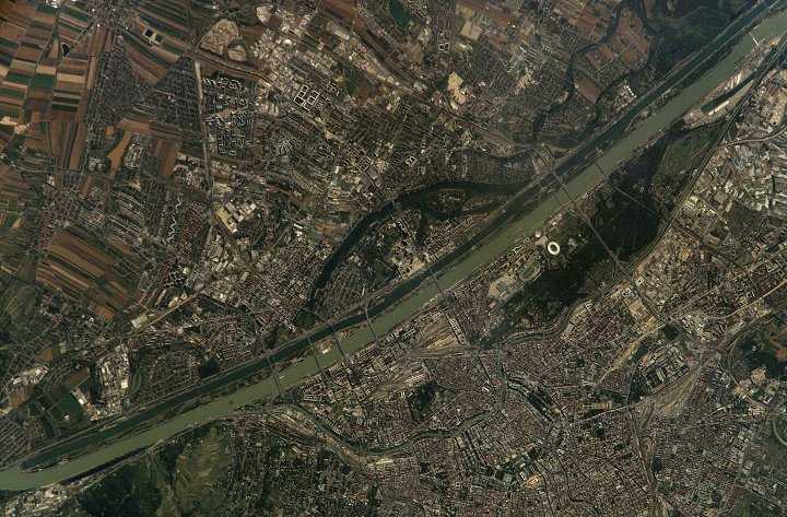
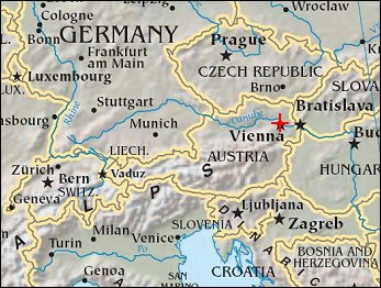
ViennaPosition of center of photo (Lat/Long): [48.2007/16.3635] |
|
  Vienna, a medium-size city of 1.6 million inhabitants, is the capital of Austria. The city center is in the lower right quarter of the photo. The river Danube Vienna, a medium-size city of 1.6 million inhabitants, is the capital of Austria. The city center is in the lower right quarter of the photo. The river Danube 
|
| Source of material: NASA |
Further information: WikiPedia article on Vienna
Last Update: 2011-03-30

