| Earth from Space is a free eBook describing our planet from a satellite's perspective. Fore more information, please read the About pages. |

|

Home  Africa Africa  Tunisia Tunisia  Djerba Djerba |
|
| See also: Floods in Tunisia | |


|
|
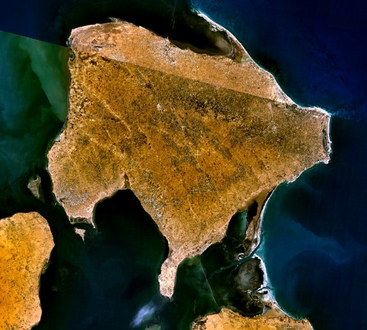
DjerbaPosition of center of photo (Lat/Long): [33.80440/10.88353] |
|
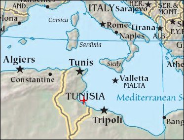
  Djerba is a flat island (614 sq.km, highest elevation 55 m) situated east of the southern coast of Tunisia about 100 km north of the Libyan border. Djerba is connected to the mainland by a 6 km causeway built on a Roman foundation. The approx. 150,000 inhabitants of this island of mythology are mostly of Berber origin. Djerba is a flat island (614 sq.km, highest elevation 55 m) situated east of the southern coast of Tunisia about 100 km north of the Libyan border. Djerba is connected to the mainland by a 6 km causeway built on a Roman foundation. The approx. 150,000 inhabitants of this island of mythology are mostly of Berber origin.
|
| Source of material: NASA |
Further information: WikiPedia article on Djerba
Last Update: 2011-03-30


