| Earth from Space is a free eBook describing our planet from a satellite's perspective. Fore more information, please read the About pages. |

|

Home  Europe Europe  Norway Norway  Fjords of Norway Fjords of Norway |
|
| See also: Corsica | |


|
|
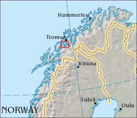
Fjords of NorwayPosition of center of photo (Lat/Long): [69.48465/18.45217] |
|
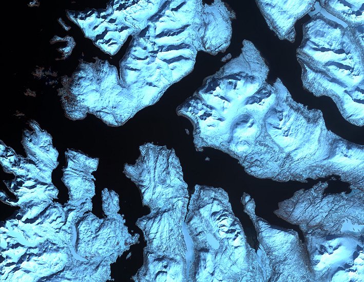
  Like dark fingers, cold ocean waters reach deeply into the mountainous coastline of northern Norway, defining the fjords for which the country is famous. Flanked by snow capped peaks, some of these ice-sculpted fjords are hundreds of meters deep. Here you see the fjord giving access to Tromsø, 8th largest city of Norway (Tromsø is north to this photo and not shown). Like dark fingers, cold ocean waters reach deeply into the mountainous coastline of northern Norway, defining the fjords for which the country is famous. Flanked by snow capped peaks, some of these ice-sculpted fjords are hundreds of meters deep. Here you see the fjord giving access to Tromsø, 8th largest city of Norway (Tromsø is north to this photo and not shown).
This scene was acquired by the ASTER instrument on NASA’s Terra satellite on April 17, 2002. |
| Source of material: NASA |
Further information: WikiPedia article on Fjords of Norway
Last Update: 2011-03-30

