| Earth from Space is a free eBook describing our planet from a satellite's perspective. Fore more information, please read the About pages. |

|

Home  Europe Europe  Spain Spain  Spain and Portugal from Space Spain and Portugal from Space |
|
| See also: Campo de Dalías, Europe meets Africa | |


|
|
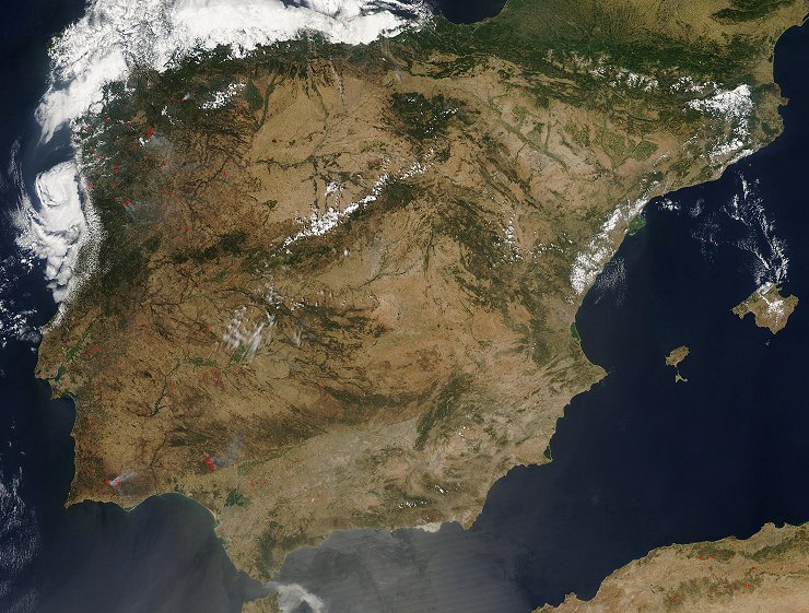
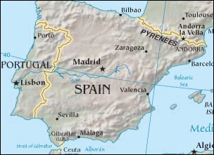
Spain and Portugal from SpacePosition of center of photo (Lat/Long): [40.37608/-4.50433] |
|
  Fires continued to burn across the Iberian Peninsula on July 28, 2004. Along with scorching temperatures, both Portugal (occupies roughly the western quarter of the peninsula) and Spain (occupying the remainder of the peninsula) have been experiencing dangerous wildfires in late July. Fires continued to burn across the Iberian Peninsula on July 28, 2004. Along with scorching temperatures, both Portugal (occupies roughly the western quarter of the peninsula) and Spain (occupying the remainder of the peninsula) have been experiencing dangerous wildfires in late July.
|
| Source of material: NASA |
Further information: WikiPedia article on Spain and Portugal from Space
Last Update: 2011-03-30


